Map Work for UPSC Prelims: How to Master Places in News
Why map questions keep hurting good aspirants
Every year, GS Paper I of UPSC Prelims carries questions that are really map questions in disguise. “Which of the following pairs is/are correctly matched?” — a list of places matched with rivers, a set of countries matched with their capitals, two straits and the landmasses they separate. You may know the current affairs behind them, but if you cannot place them on a map, you are guessing.
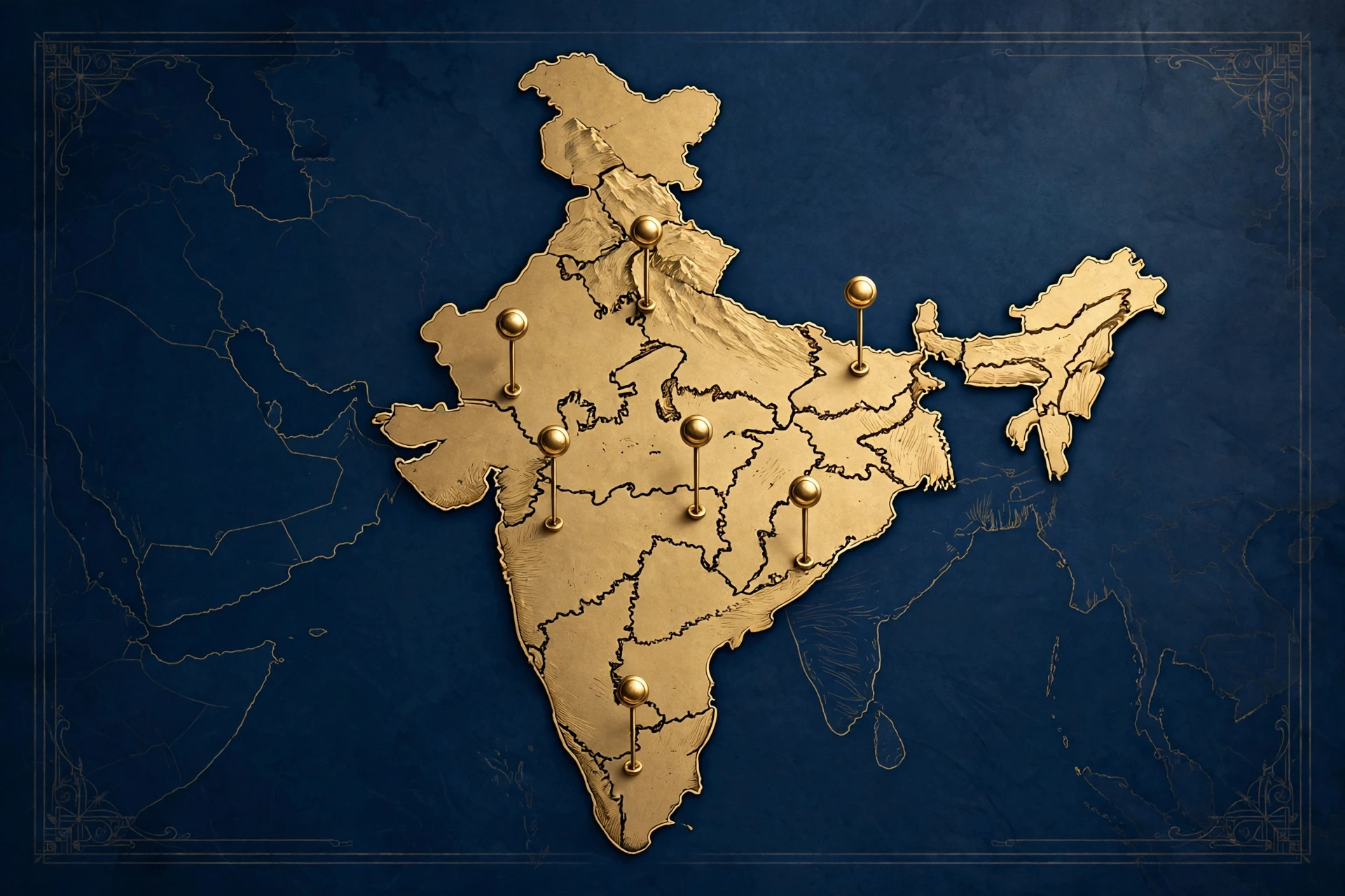
And guessing is expensive. Prelims is 100 questions for 200 marks with one-third negative marking, so every wrong answer costs you 0.67 marks. Two or three wrong guesses on map questions can be the difference between clearing the Prelims cutoff and missing it by a whisker. Look at the exam pattern and you will see why each mark matters: only GS Paper I counts for the shortlist, and there is no second chance within the same attempt.
The encouraging part: map questions are among the most scoring in the paper — but only for aspirants who practise locating, not just reading. This article gives you a complete method: the atlas to use, a 10-minute daily routine for places in news, an India-first list, a smart way to handle the world map, and a revision system that holds up in the last month.
Set up your map kit first — three things, nothing more:
1. One good student atlas. The Oxford Student Atlas for India and the Orient BlackSwan School Atlas are the two most used by serious aspirants. Pick one and stick to it for the whole preparation. Flipping between three different atlases wastes time and confuses your memory of relative positions. The booklist covers the standard references; your atlas choice sits alongside them, not instead of them.
2. A “places in news” notebook. A small diary, or a notes file on your phone. Every place that appears in your current affairs reading gets one entry here — the format is explained in the next section.
3. Blank outline maps of India and the world. Print a small stack, or practise drawing rough outlines yourself. Even a rough freehand sketch of India sharpens your sense of relative position far better than staring at a printed map.
That is the whole kit. No app, no video playlist, no 50-page PDF can replace opening an atlas with your own hands and finding a place yourself.
The 10-minute daily routine for “places in news”
This is the heart of the method. Every day, while you read the news or your current affairs notes, every new place gets a five-line entry in your notebook:
- Name of the place
- State (for Indian places) or country (for world places), with its capital
- The water body nearest to it — river, sea, strait, or ocean
- Why it is in news — one line
- One extra map fact — a neighbouring state or country, a mountain range, a park nearby
An example. You read that a new hydroelectric project is in the news on the Chenab. Entry: Chenab — river rising in Himachal Pradesh, flowing through Jammu and Kashmir into Pakistan — part of the Indus river system — in news because of the power project — extra fact: the Indus system is covered in the Indian Geography notes.
Another example. A West Asian country appears in the news over a summit. Entry: country name — capital — the countries that border it — the nearest sea — one line on the summit. Five lines, done.
Ten minutes a day, and by the time Prelims arrives on 23 May 2027, you will have logged hundreds of places. The rule is simple: if you read about a place but never opened the atlas for it, it does not count as studied.
India first: the non-negotiable list
A large share of GS Paper I map questions comes from India. Master this list before you spend serious time on the world map:
- States and their relative positions. Especially the North-East — which state borders which, where Arunachal Pradesh sits relative to Bhutan and Myanmar. Draw the seven sisters plus Sikkim from memory until you can do it without thinking.
- Major rivers: origin, the states they flow through, where they meet the sea, and their important tributaries. Ganga, Yamuna, Brahmaputra, Godavari, Krishna, Narmada, Tapi, Mahanadi, Cauvery — plus the Indus system rivers.
- Water bodies around India: Palk Strait, Gulf of Mannar, Gulf of Kutch, Gulf of Khambhat, the Andaman Sea. UPSC returns to straits and gulfs again and again.
- National parks, tiger reserves and sanctuaries in the news. If a park appears in the news — a tiger census, a new reserve, a relocation project — note its state and the nearest river the same day. The Environment notes track these places through the year.
- Major ports and which coast each sits on — east or west, and the state.
- Important lakes: Wular, Dal, Chilika, Sambhar, Loktak, Vembanad — state first, then why it matters.
- Passes, ranges and islands that appear in the news — Himalayan passes, gaps in the Western Ghats, and the Andaman and Nicobar and Lakshadweep island groups.
Work through this list alongside the Indian Geography notes and keep it tied to the UPSC syllabus, so your map work never drifts into trivia.
World map: go smart, not wide
You cannot memorise every country, and UPSC does not expect you to. Be strategic instead:
- Start with India’s neighbourhood: Pakistan, China, Nepal, Bhutan, Bangladesh, Myanmar, Sri Lanka, Maldives, Afghanistan. Capitals, shared borders, surrounding water bodies — this set alone covers a big chunk of world map questions.
- Then the extended neighbourhood: Central Asia, West Asia, South-East Asia. These regions generate most of the remaining world map questions.
- Learn places through the news, not through lists. A country hosting a summit, a region with a conflict, a port on a new trade route, an island in a maritime dispute — these are the places UPSC actually picks. Your daily notebook routine already captures them.
- Three facts per country: capital, neighbours, nearest sea or ocean. That is enough for most match-the-following questions.
- Straits and canals in the news: Hormuz, Bab el-Mandeb, Malacca, Suez, Panama, Gibraltar. One line each — which water bodies they connect, which countries sit on them.
Connect this with the International Relations notes: whenever you study a bilateral relationship or a grouping, locate the country on the map the same day. Geography and IR revise each other.
The three-pass revision system
Learning a place once is not enough. Run every place through three passes:
Pass 1 — Plot. When a place enters your notebook, find it in the atlas and mark it on a blank outline map. Two minutes. This fixes the location in your mind far better than re-reading the entry.
Pass 2 — Redraw. Once a week, take a blank India outline and a blank world outline and plot as many places as you can from memory — rivers, capitals, straits, parks. Then check against the atlas. Every miss goes back into the notebook with a star mark.
Pass 3 — Test. Solve map-based questions from previous year papers and your test series. Every wrong answer becomes a fresh notebook entry. A full-length paper like the Prelims GS mock test will show you exactly which places you keep mixing up — that list is your real revision syllabus.
In the last month before Prelims, your revision should be only Pass 2 and Pass 3: blank maps plus PYQs. No new atlases, no new lists. With the CSE 2027 dates fixed — notification 13 January 2027, Prelims 23 May 2027 — plan this revision block backwards from the exam date.
Map Work Mistakes That Cost Marks
- Reading about a place without opening the atlas. The number one mistake. Reading is not locating.
- Learning capitals without neighbours. UPSC rarely asks a capital alone; it asks which countries border it, or which sea touches it.
- Ignoring water bodies. A large part of map confusion comes from rivers, straits and seas. The water-body line in your notebook entry exists for this reason.
- Saving maps for the last month. Map memory needs months of small daily touches, not one big cram session.
- Studying on a phone screen. Pinch-zooming a map gives you no sense of relative position. The atlas open on a table does.
If you are preparing on your own, this method slots neatly into a self-study day — the guide on preparing without coaching shows how to fit map work into your timetable without disturbing the rest.
Frequently asked questions
Which atlas is best for UPSC map work?
The Oxford Student Atlas for India or the Orient BlackSwan School Atlas — pick one and use it for the entire preparation. Consistency matters more than the brand; your memory of relative positions builds up only when you keep seeing the same maps.
How much time should map work take every day?
About 10–15 minutes for the daily places-in-news entries, plus one 30-minute redraw session per week. That is enough if you never skip days. Map work is a habit, not a subject you “finish”.
Do maps matter for Mains as well?
Yes. GS Paper I geography answers become much stronger with a small map or diagram, and a clear sense of location helps in disaster management and internal security answers too. The daily habit you build for Prelims pays off in Mains answer writing.
Should I memorise all countries and capitals?
No. Master India’s neighbourhood and extended neighbourhood thoroughly, learn three facts per country (capital, neighbours, nearest sea), and let the news supply the rest. UPSC tests places in news, not an atlas index.
What should I do about places in news in the last month?
Stop adding new lists. Revise only your notebook and solve map-based PYQs. In the final month, depth on your existing logged places beats breadth on fifty new ones.